Current Research
|

|
We have been
developing physics based numberical simulations of
the earthquake cycle, including slow slip
events. Paul Segall and Andrew Bradley are
working on this. Learn More - contains
a movie!
|
|
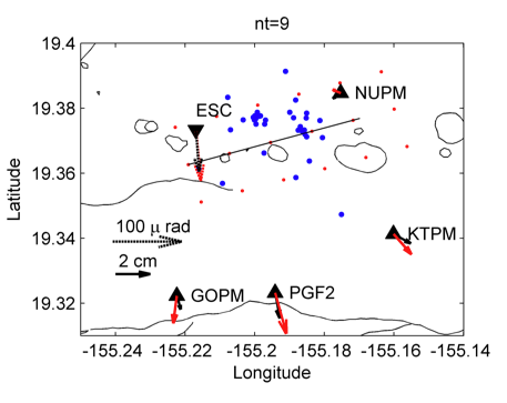
When volcanic dikes
propagate, they create deformations recorded by
GPS data and earthquake swarms. Andrea
Llenos has been working on physical model based
inversions that combine these two data types.
Learn more. |

|
The 2009 Cascadia
Episodic Tremor and Slip event provided an
excellent opportunity to study the relationship
between slow slip and tremor in subduction
zones. Noel Bartlow inverted GPS data to
image the migration of slip during this
event. Learn
more - contains a movie!
|
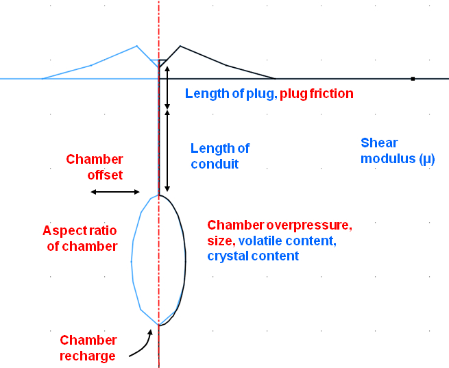 |
The 2004-08
eruption of Mount St. Helens began with little
warning. Kyle Anderson is studying this
eruption. Learn
more. |
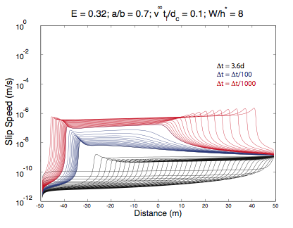 |
We have been
exploring the possibility that dilatant
strengthening may provide a reasonable explanation
for slow slip events. Dilatancy is the
tendency for the pore space in granular materials
to expand during shear. Learn
more. |
The above projects are only a few that we
are working on. We are currently in the
process of updating our research webpage. In
the meantime, you can check out some of our
previous research projects below, or contact Paul
Segall to learn more. Our publications page
includes some additional research projects
currently active in the group.
|
|
|
Previous Research
|
Seismic Deformation
|
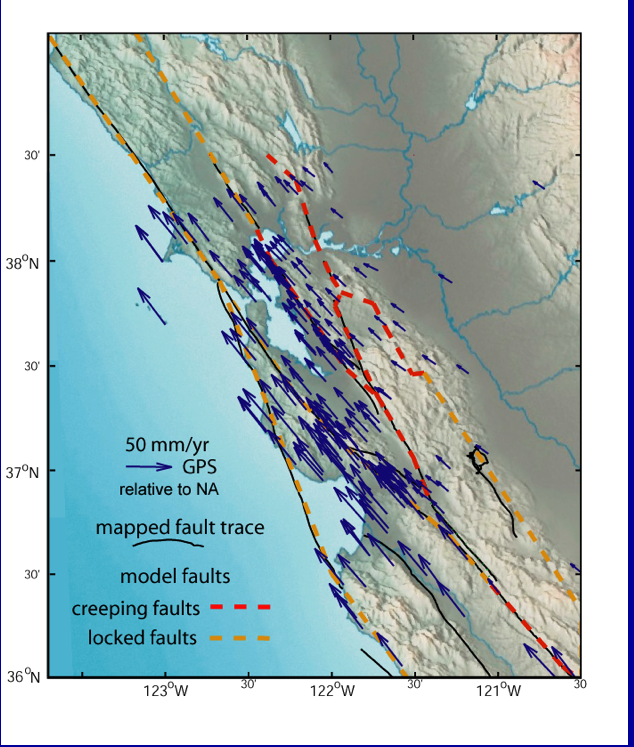 |
Geodetic Strain
used to improve earthquake forecasts in the San
Francisco Bay Region. Learn
more. |
 |
Co-shocks to Silent
Earthquakes
We have identified a sequence of slow slip events
(a.k.a. silent earthquakes) beneath the south
flank of Kilauea volcano, Hawaii using a network
of GPS receivers (Cervelli et al, Nature, 2002;
Segall et al, Nature, 2006) Learn more. |
| |
Volcanic Deformation
|
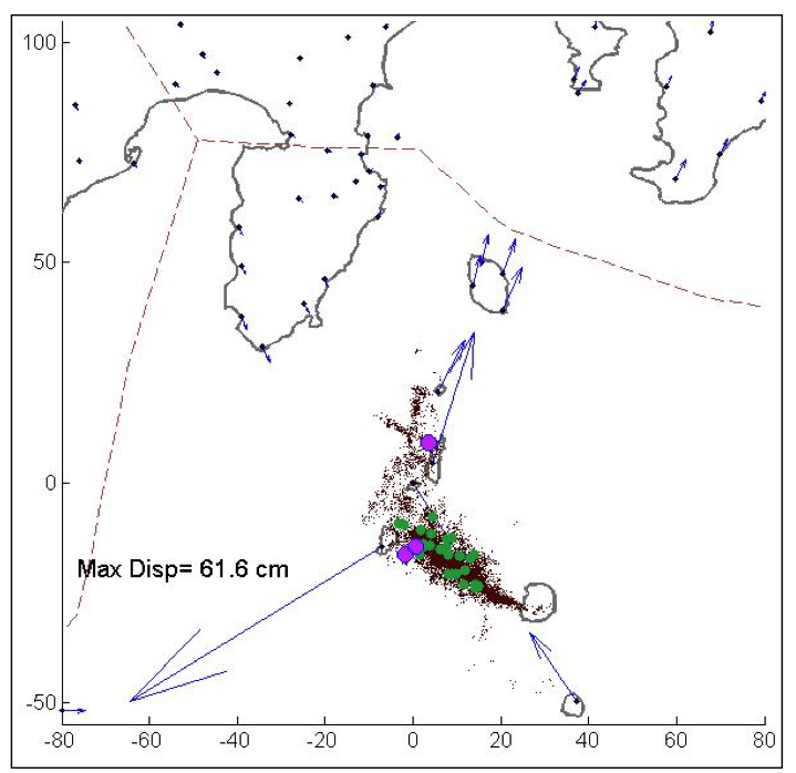 |
In the summer of
2000, a sequence of eruptions and
accompanying caldera subsidence occurred on Miyake
Island, off the Izu Peninsula Japan. Learn more. |
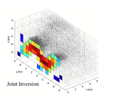 |
We have explored
the role of dike induced seismicty as a tool for
inverting for dike geometry. Using
modelling, we modeled dike induced seismicity and
simulated a joint inversion of geodetic and
seismic data. Learn more. |
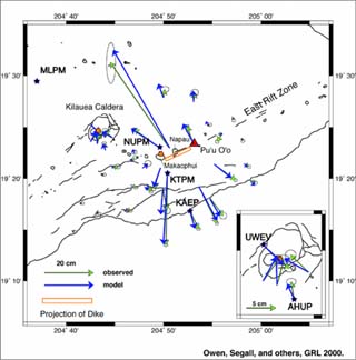 |
Long-term and real-time GPS monitoring of
deformation on Kilauea volcano, Hawaii (more info). |
 |
Subsurface magamtic processes in the Western
Galapagos Islands from high-resolution SAR
interferometry measurements (more info). |
 |
Measuring volcanic deformation using persistent
scatterers in SAR interferograms (more info). |
| |
| |
|


