The Stanford School of Earth, Energy & Environmental Sciences is now part of the Stanford Doerr School of Sustainability.
This page is currently being maintained for archival purposes only. For the latest information, please visit us here.


© Stanford University, Stanford, California 94305. Copyright Complaints
")
")
")
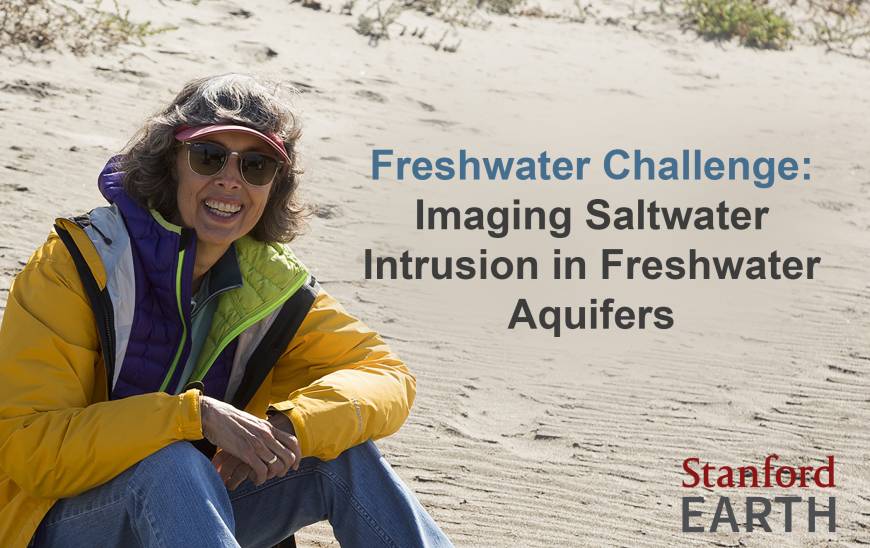
. (photo by Stacy Geiken)")
")
")
 explained the team’s work to local reporters while on the beach. The news reports gave Monterey Bay area residents much needed information about saltwater intrusion and an introduction to the tremendous value of using geophysical imaging techniques. (photo by Stacy Geiken)")
. Local groundwater managers can use this information for informed proactive groundwater management.")
")