The Stanford School of Earth, Energy & Environmental Sciences is now part of the Stanford Doerr School of Sustainability.
This page is currently being maintained for archival purposes only. For the latest information, please visit us here.

In the School of Earth Sciences fall quarter Distinguished Lecture, Prof. George Hilley will explain how the Santa Cruz Mountains formed, the impact they have on our local quality of life and the “invisible” seismic risk they pose. The event starts at 4:15 p.m. in the Mackenzie Room in the Huang Engineering Center. It is open to the public.
Extending the length of the peninsula between the Pacific Ocean and San Francisco Bay, the Santa Cruz Mountains serve as a scenic backdrop for Stanford and a natural retreat for urbanites seeking an outdoors escape.
The range is also of interest to scientists because of the unusual way in which it formed. The very geologic processes that helped raise and sculpt our local peaks are still active today and may pose an “invisible” seismic risk, said George Hilley, associate professor in the Stanford Department of Geological & Environmental Sciences.
“I call the Santa Cruz Mountains and the structures that form them the ‘hidden hazard’,” Hilley said.
On Wednesday, Hilley will deliver a talk entitled "A Beautiful, Hazardous Haven: The Shaping of the Santa Cruz Mountains" as part of the Distinguished Lectures Series hosted by the School of Earth Sciences. The event starts at 4:15 p.m. in the Mackenzie Room in the Huang Engineering Center. It is open to the public.
Nestled as they are between two large bodies of water, the Santa Cruz Mountains play a key role in regulating the climate of the Bay Area. For example, their height helps shield Palo Alto and its neighboring cities in the peninsula against the chilly fog drifting eastward from the Pacific Ocean.
"The Santa Cruz Mountains don't extend to San Francisco," Hilley said. "That's why the temperature there is generally so much cooler.”
But the very mountains responsible for our pleasant climate also represent a substantial earthquake danger.
The threat is tied to how the range was formed, Hilley said. Most mountains are created when the edges of two tectonic plates — large, shifting slabs of rock that fit together like puzzle pieces to make up the Earth’s crust — collide and push up against each other.
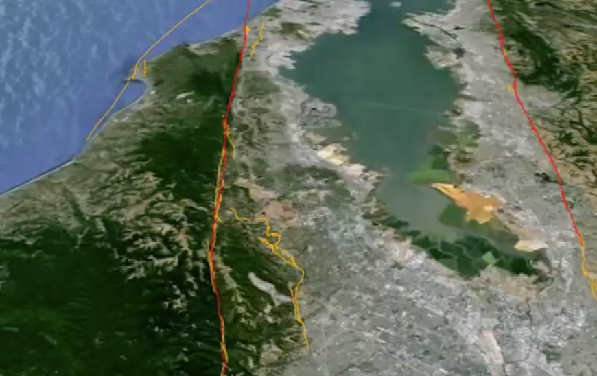
In the case of the Santa Cruz Mountains, it’s actually much more complicated than that, Hilley said, and has to do with the San Andreas fault, which marks the boundary between the Pacific and North American tectonic plates.
The fault runs in a nearly straight line along most of the range, except for a section near the city of Gilroy where it swerves slightly eastward. This "hook," which scientists call a restraining bend, is the birthplace of the Santa Cruz Mountains.
Along straight sections of the fault, the Pacific and North American plates slide relatively smoothly past each other, but the hook obstructs that easy flow of traffic. "Material from the Pacific plate gets wadded up here, and the edge of the plate plows right into the North American plate and then gets uplifted," Hilley said.
The uplifting creates mountains, and the sliding of the plates past each other shifts those mountains northward. "The mountains are simultaneously building and then moving right on out of the way, being smeared out along part of the San Andreas fault," Hilley said.
But restraining bends are also often associated with so-called "reverse faults," sites where the ground can undergo sudden horizontal and vertical shifts and trigger an earthquake.
"Reverse faults have caused a lot of damage, but they're very hard to detect because they don’t leave a lot of evidence on the surface," Hilley said. His team’s research includes trying to understand ways to detect reverse faults in the Santa Cruz Mountains.

© Stanford University, Stanford, California 94305. Copyright Complaints