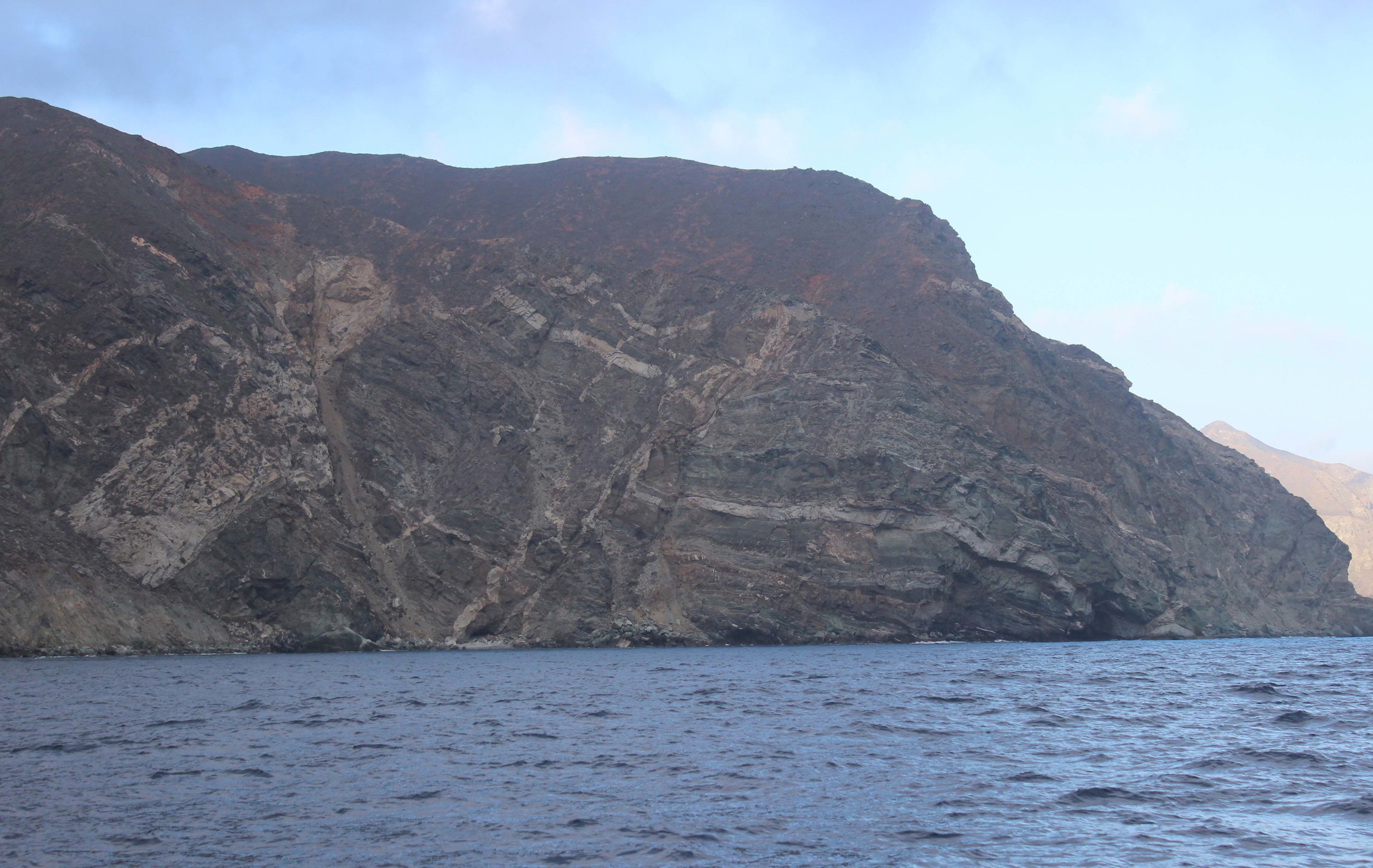
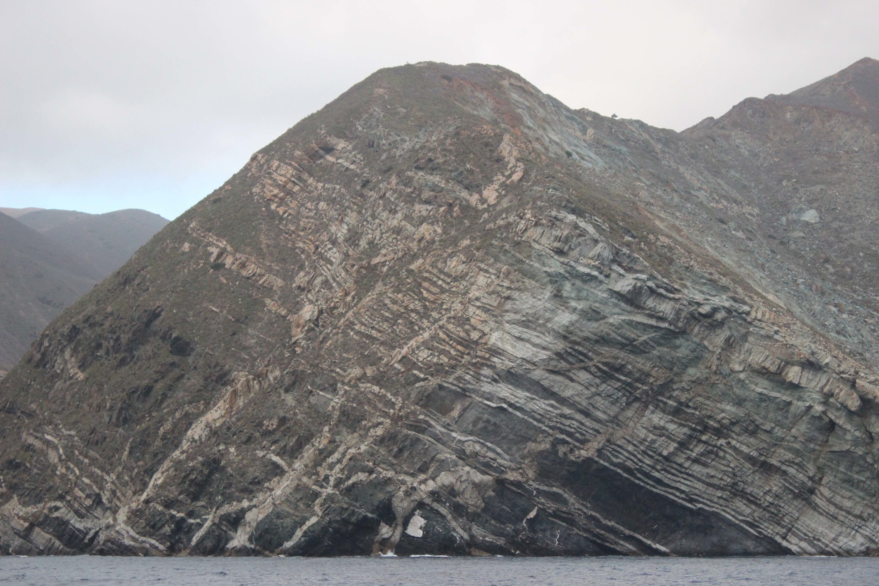
Santa Catalina Island Terraces/Tectonics Low Energy Survey (SCITTLES)

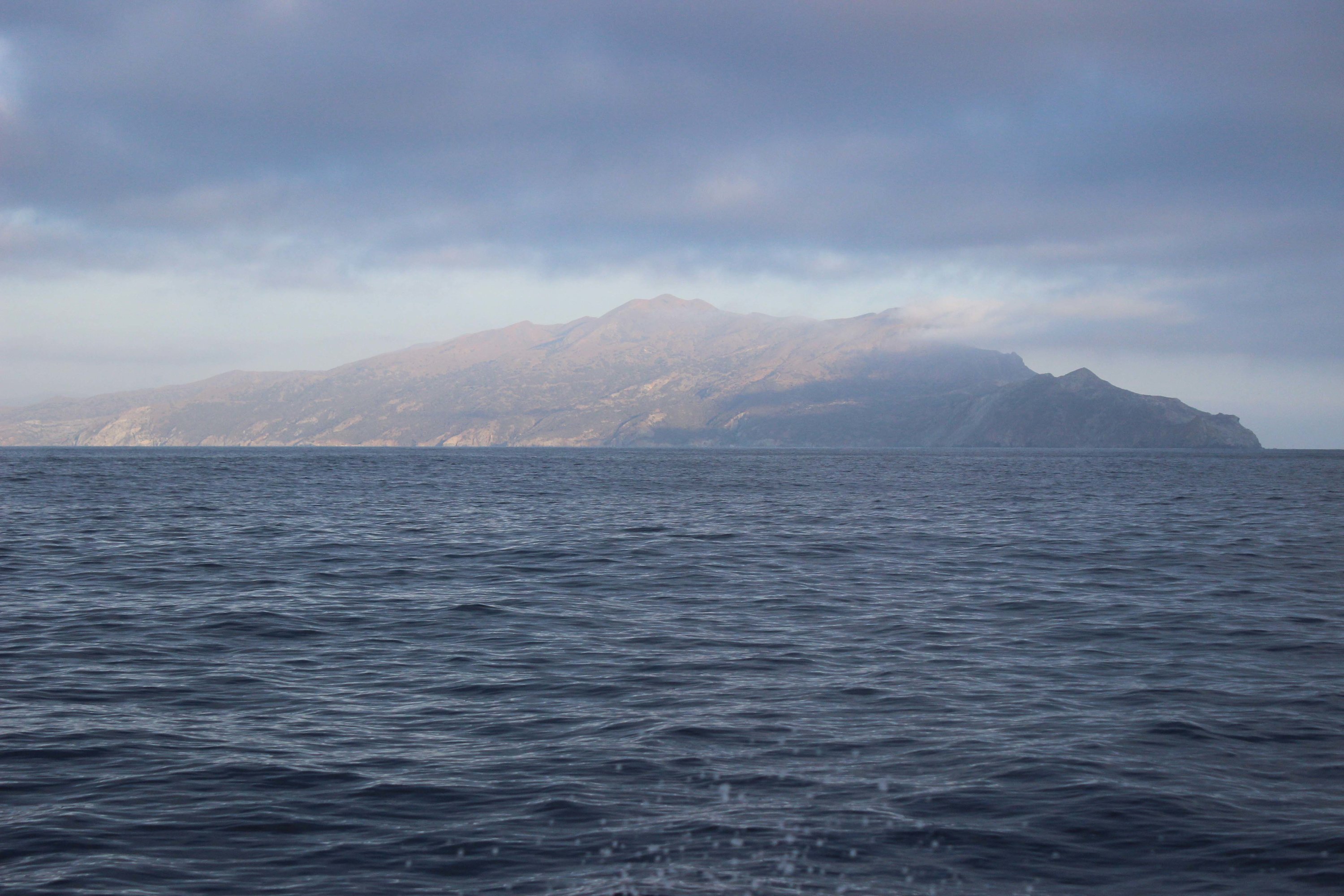
The Southern California Continental Borderland records a complex history of the transition from a Cretaceous subduction to Miocene rifting to the current regime of transform tectonics. Tectonic deformation in southern California is currently dominated by the anastamosing faults of the North American-Pacific plate boundary (San Andreas Fault System). Vertical motions of the islands and coastline of southern California are elucidated by the presence of marine terraces (relict shorelines) observed on much of the coastline. Santa Catalina Island is conspicuous in its lack of uplifted marine terraces. Instead Catalina hosts spectacular submerged marine terraces as deep as 350m (~1150ft), in many ways equivalent to uplifted terraces on nearby islands. Catalina's submerged terraces are deeper than sea level fluctuations and therefore require subsidence.
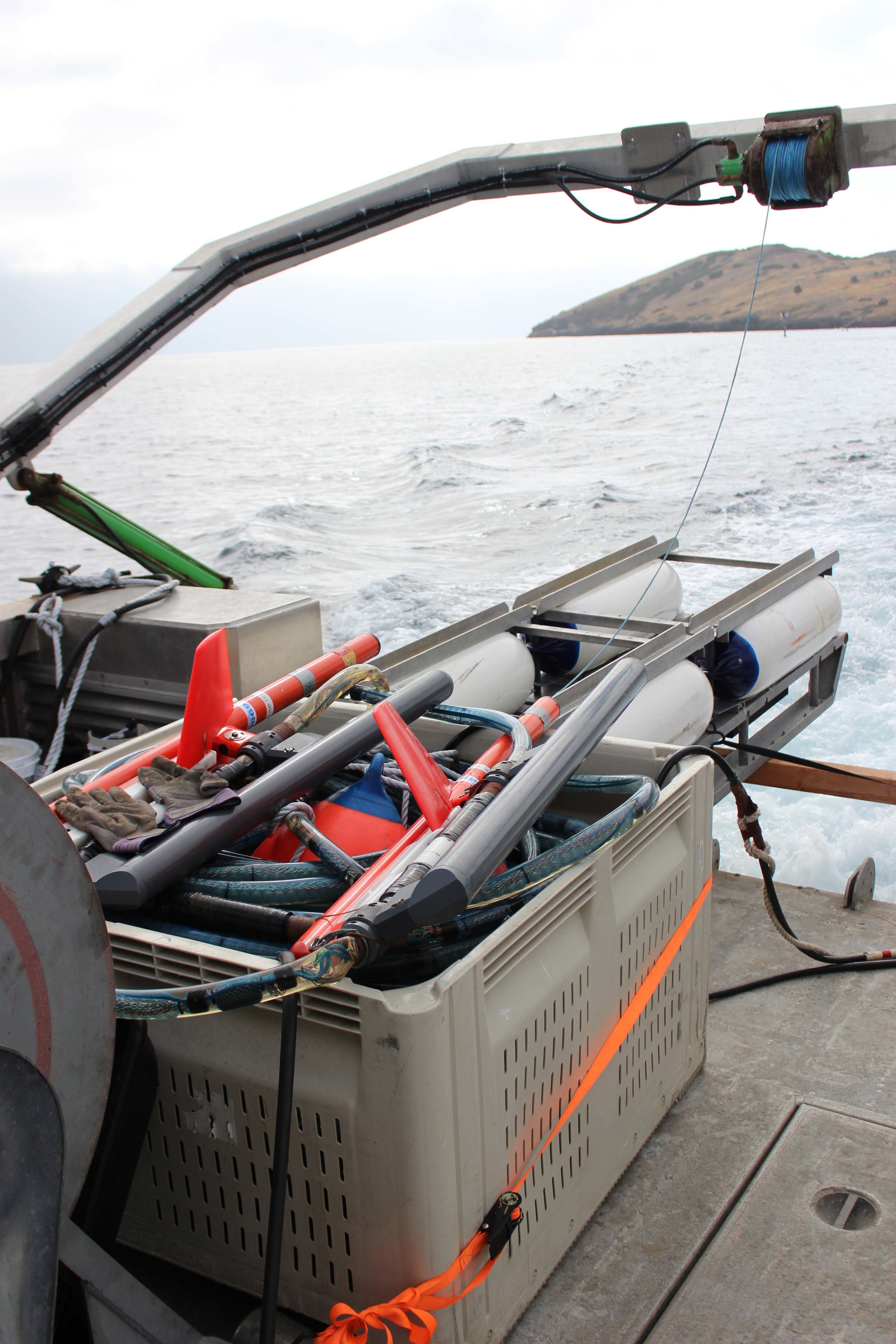
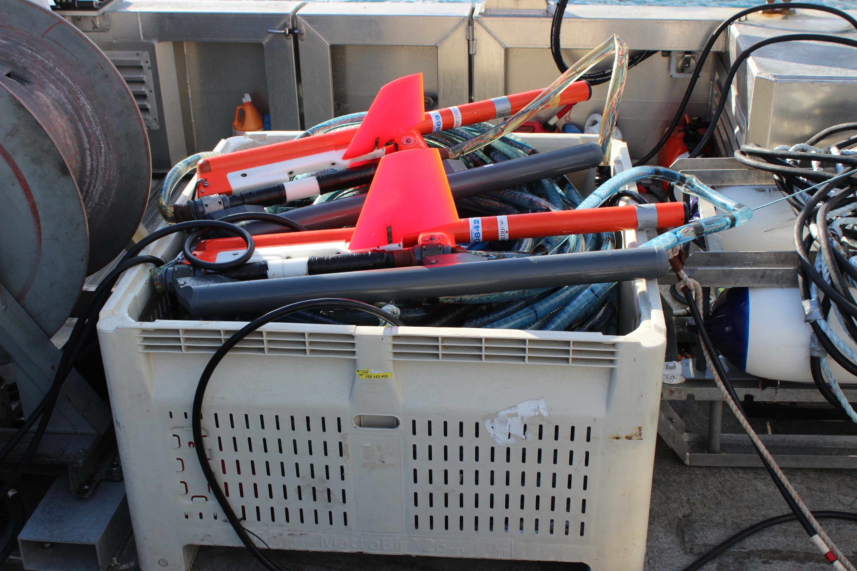
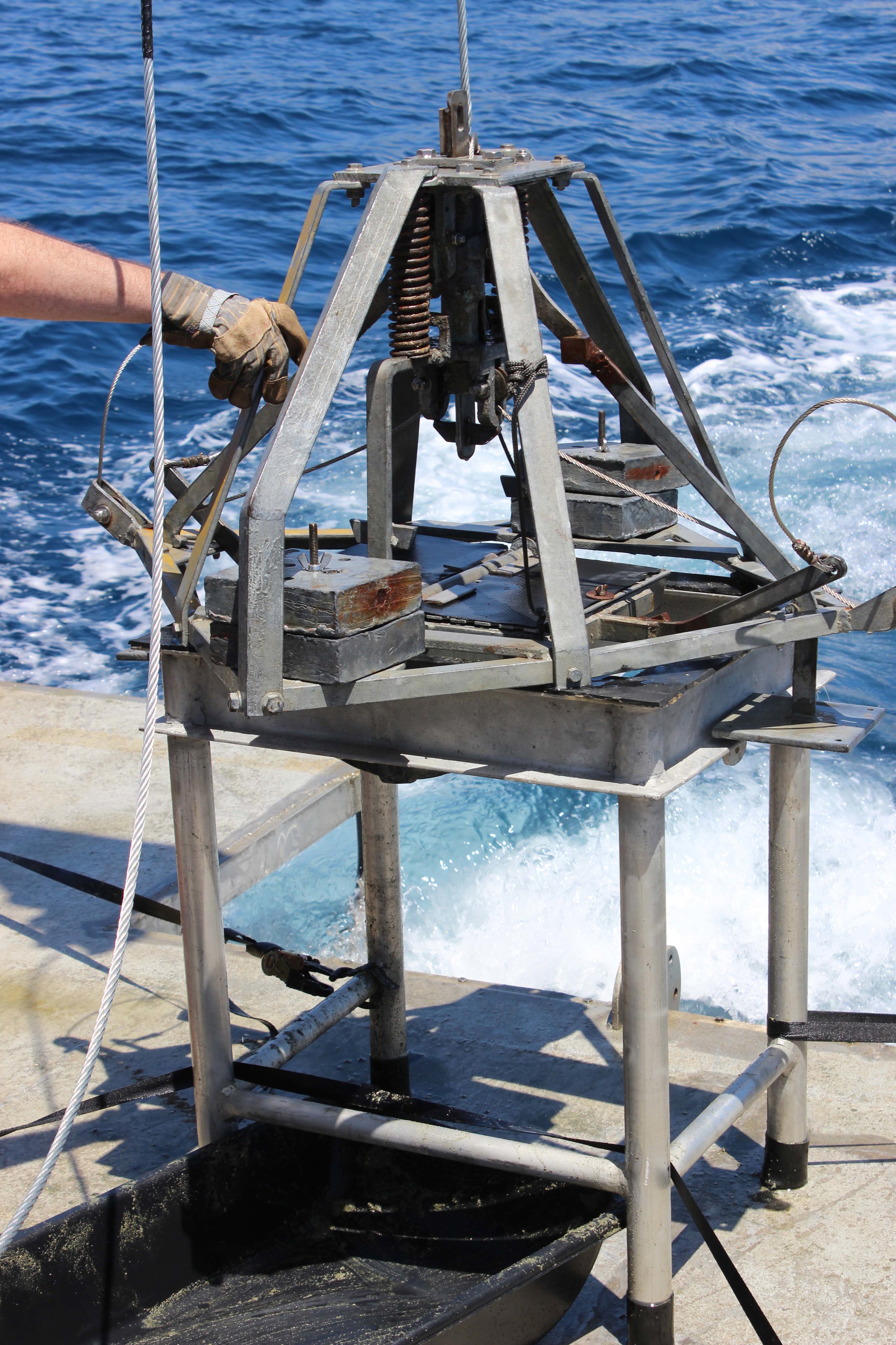
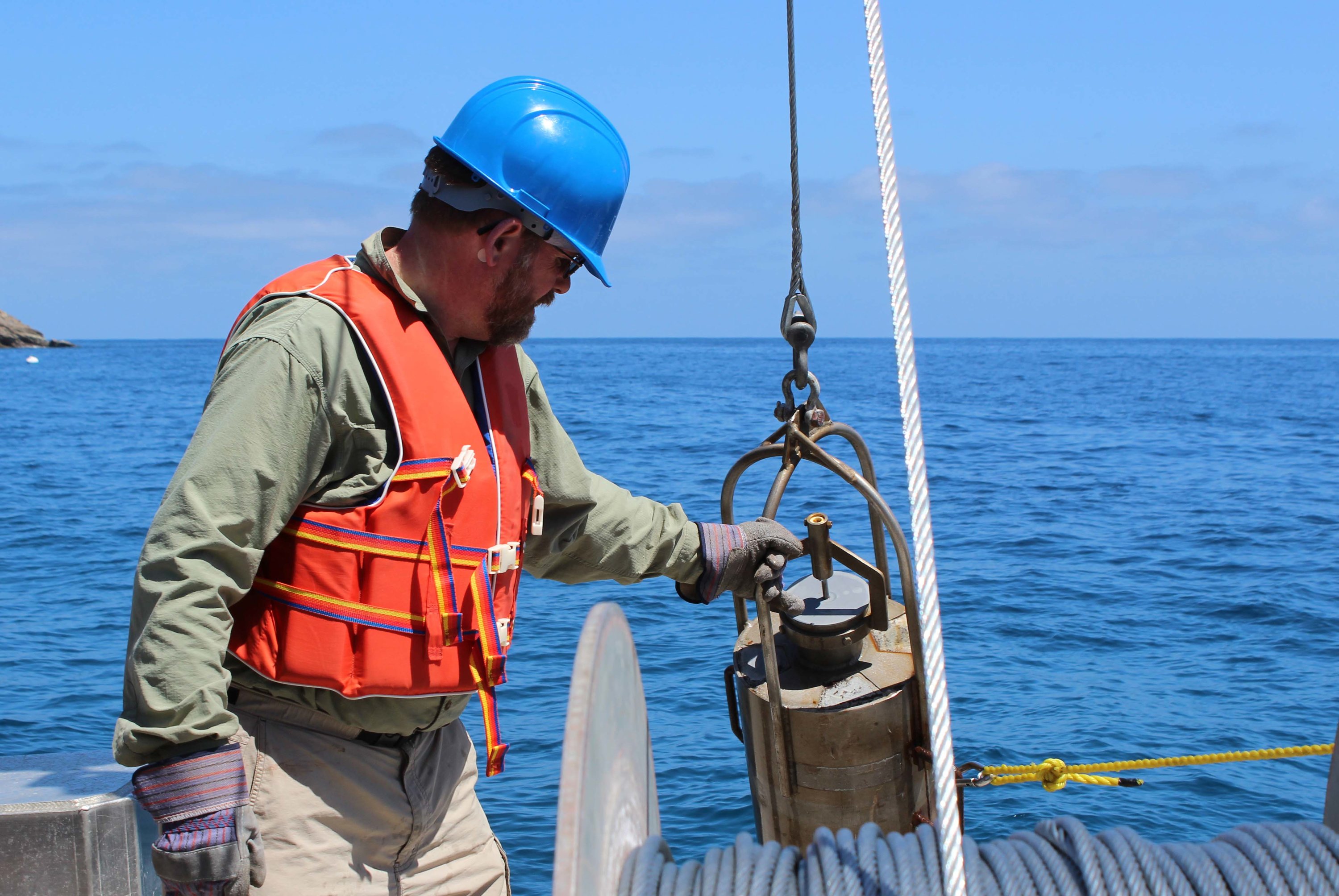
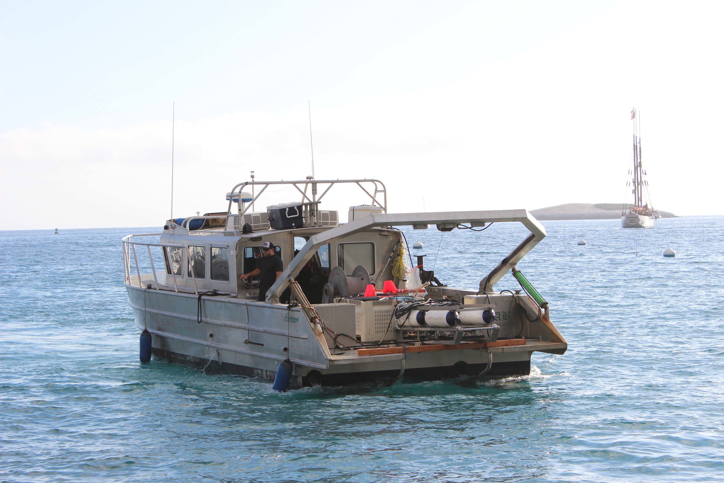
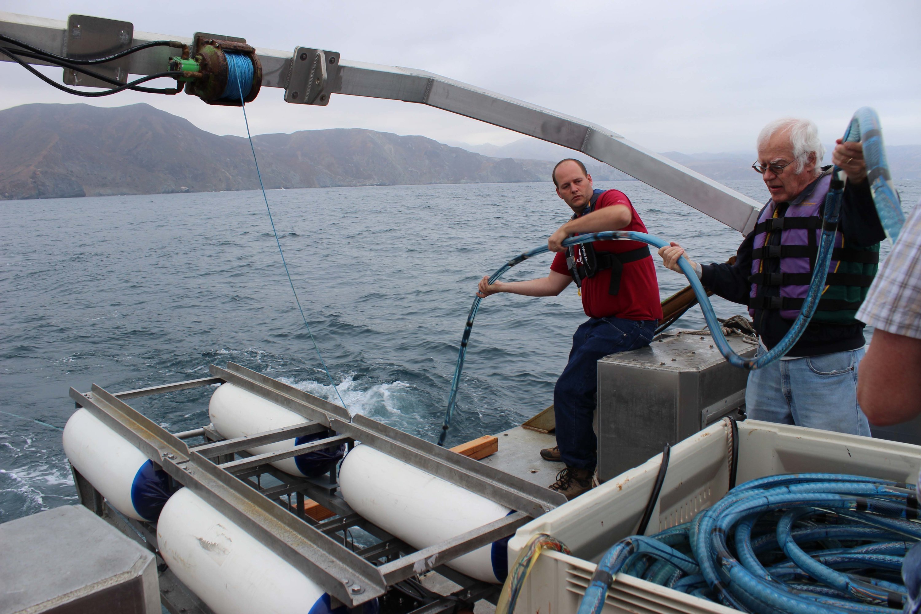
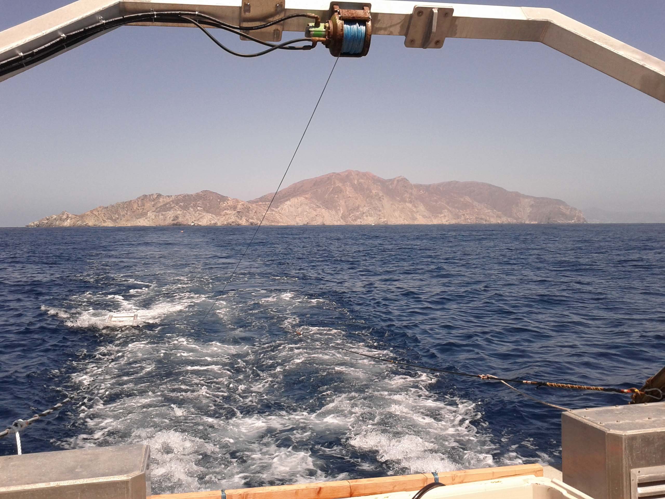
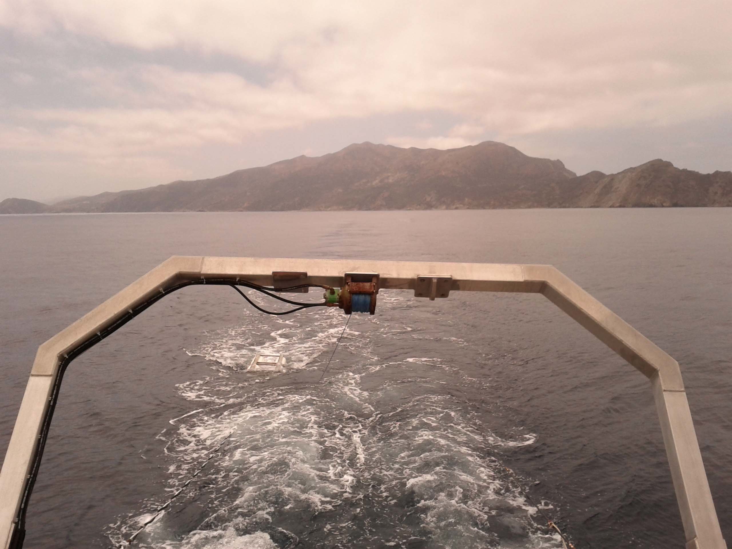
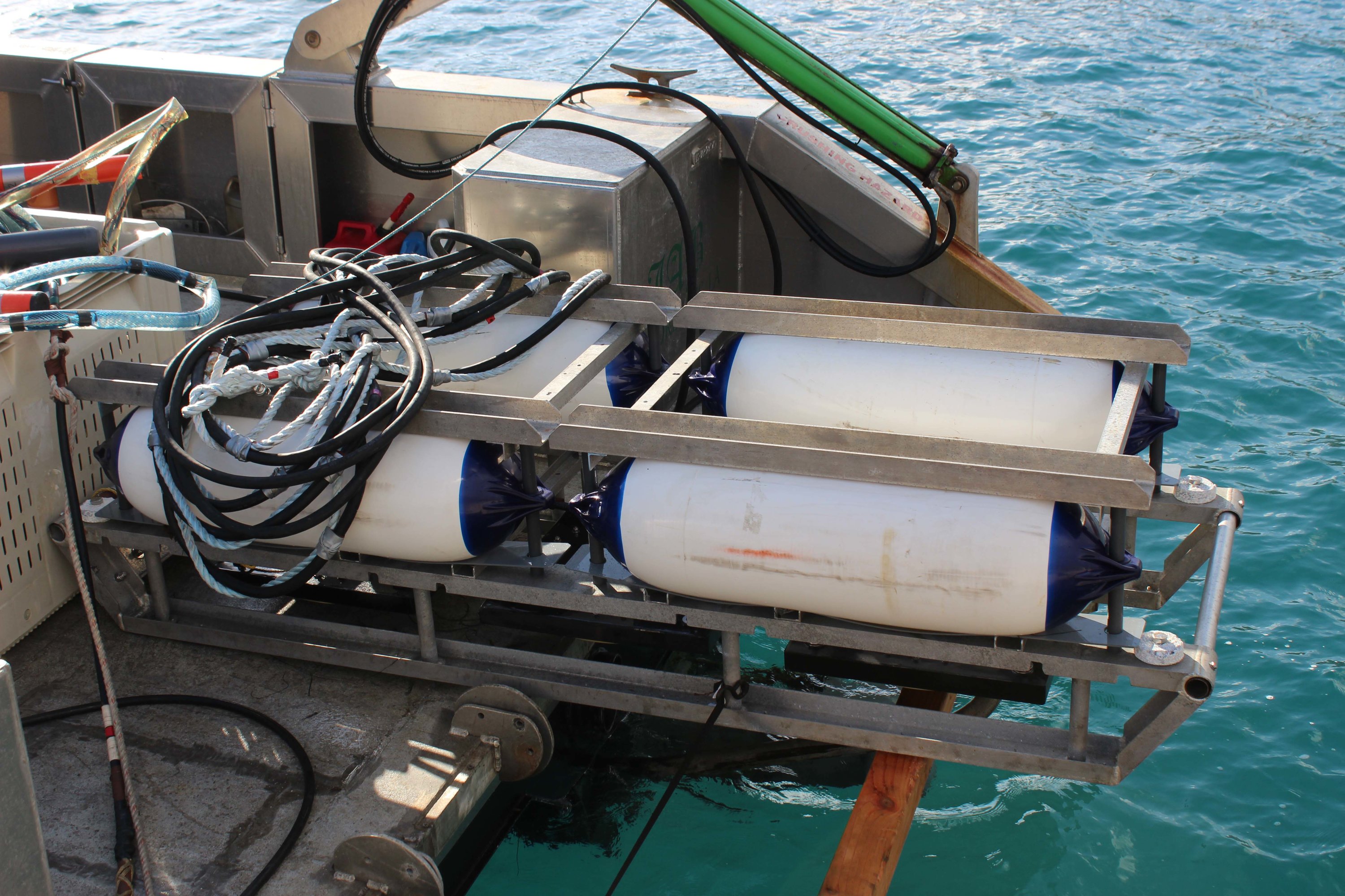
My research focuses on the Quaternary tectonics of southern California, with a primary focus on the subsided/subsiding islands of the Channel Islands archipelago. I use high dynamic-range imaging techniques on bathymetric data to investigate seafloor morphology. These data are correlated with ultra high-resolution seismic data and fossil data from core samples to construct a 4D deformation history of a subsided island. Targets for 2014 investigation: Pilgrim Banks, Kidney Bank, and Catalina Island.