 Photo
of the town of Superior, looking southwest
Photo
of the town of Superior, looking southwest
Photo
of the town of Superior, looking southwest
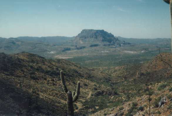 Photo
of the hills south of Superior (looking west). Picketpost Mtn. at the background.
Photo
of the hills south of Superior (looking west). Picketpost Mtn. at the background.
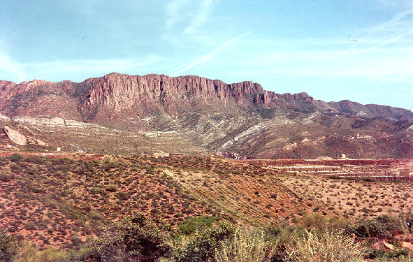 Photo
of the hills to the East of Superior (looking southeast). Note the cliffs
in the Apache Leap tuff (reddish) and the underlying, gently-dipping, Paleozoic
carbonates (light gray)
Photo
of the hills to the East of Superior (looking southeast). Note the cliffs
in the Apache Leap tuff (reddish) and the underlying, gently-dipping, Paleozoic
carbonates (light gray)
 Map
of the state of Arizona showing the location of Superior and nearby porphyry
copper districts
Map
of the state of Arizona showing the location of Superior and nearby porphyry
copper districts
 Geologic
Map of the Superior district (legend same as in cross-section below). Also
shown is the location of the main carbonate-hosted deposits of the district
Geologic
Map of the Superior district (legend same as in cross-section below). Also
shown is the location of the main carbonate-hosted deposits of the district
 East-West
cross-section of the Superior district, showing location of the main carbonate-hosted
deposits
East-West
cross-section of the Superior district, showing location of the main carbonate-hosted
deposits
 Simplified
stratigraphic column of the Martin and Escabrosa formations, showing location
of the main favorable beds (i.e., beds that are more commonly replaced
by massive sulfides)
Simplified
stratigraphic column of the Martin and Escabrosa formations, showing location
of the main favorable beds (i.e., beds that are more commonly replaced
by massive sulfides)