The Stanford School of Earth, Energy & Environmental Sciences is now part of the Stanford Doerr School of Sustainability.
This page is currently being maintained for archival purposes only. For the latest information, please visit us here.

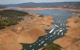
The amount of warm ocean water penetrating the undersides of glaciers in West Antarctica and melting them from below has increased significantly since the mid-2000s.
The amount of warm ocean water penetrating the undersides of glaciers in West Antarctica and melting them from below has increased significantly since the mid-2000s, according to a new study.
The findings are based on the first direct observations of ice melt from the floating undersides of glaciers in the southern continent and highlight how interactions between warm ocean water and the bedrock beneath a glacier contribute to ice loss and global sea level rise.
"This is a shocking amount of melt for an ice shelf to experience."
“We knew from satellite observations of the surface of the ice sheet that the Amundsen Sea Embayment is the most rapidly changing sector in Antarctica,” said study coauthor Dustin Schroeder, who heads the Radio Glaciology group at Stanford’s School of Earth, Energy & Environmental Sciences. “We also knew from oceanographic observations that warm ocean water is getting onto the continental shelf in this area. However, this study shows how much of the observed change is being caused by the direct melting of floating ice by that warm water.”
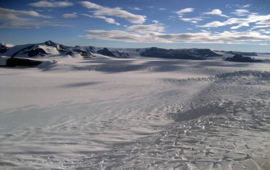
In the new study, published in this week’s issue of the journal Nature Communications, Schroeder and his colleagues used radar and laser altimetry instruments flown by NASA's Operation IceBridge and earlier NASA airborne campaigns to directly measure the thickness and height of three neighboring glaciers — Smith, Pope, and Kohler — in West Antarctica that are flowing into the Dotson and Crosson ice shelves in the Amundsen Sea Embayment, the part of the continent experiencing the largest ice loss.
Most remote sensing techniques can only see the surface of glaciers and therefore cannot directly observe subsurface melting. But radar waves penetrate glaciers all the way to their base, allowing direct measurements of how the bottom profiles of the glaciers at their grounding lines — the point at which a glacier’s ice is anchored to the sea floor — changed between 2002 and 2014. Laser signals reflect off the surface, so for the floating ice shelves, laser measurements of changes in surface elevation can be used to infer changes in ice thickness.
“The Radio Glaciology group at Stanford specializes in developing, analyzing, and interpreting ice penetrating radar observations of terrestrial and planetary ice systems,” Schroeder said. “In this particular case, I used that data to identify exactly where the ice was floating and where is was still in contact with the bed.”
Previous studies using other techniques estimated the average melting rates at the bottom of Dotson and Crosson ice shelves to be about 40 feet per year (12 meters per year). Using their direct radar measurements, the team found stunning rates of ice loss from the glaciers' undersides on the ocean sides of their grounding lines. The fastest-melting glacier, Smith, lost between 984 and 1,607 feet (300 and 490 meters) in thickness from 2002 to 2009 near its grounding line, or up to 230 feet per year (70 meters per year).
“This is a shocking amount of melt for an ice shelf to experience,” Schroeder said.
Those years encompass a period when rapid increases in mass loss were observed around the Amundsen Sea region. The regional scale of the loss made scientists strongly suspect that an increase in the influx of ocean heat beneath the ice shelves must have taken place. "Our observations provide a crucial piece of evidence to support that suspicion as they directly reveal the intensity of ice melting at the bottom of the glaciers during that period," said study leader Ala Khazendar of NASA's Jet Propulsion Laboratory, Pasadena, California.
Khazendar said Smith's fast retreat and thinning are likely related to the shape of the underlying bedrock over which it was retreating between 1996 and 2014, which sloped downward toward the continental interior, and oceanic conditions in the cavity beneath the glacier. As the grounding line retreated, warm and dense ocean water could reach the newly uncovered deeper parts of the cavity beneath the ice shelf, causing more melting.
As a result, "more sections of the glacier become thinner and float, meaning that the grounding line continues retreating, and so on,” he said. The retreat of Smith might slow down as its grounding line has now reached bedrock that rises farther inland of the 2014 grounding line.
Pope and Kohler, by contrast, are on bedrock that slopes upward toward the interior.
The group is currently engaged in several projects to determine whether or not other glaciers in West Antarctica will behave more like Smith Glacier or more like Pope and Kohler. Many glaciers in this sector of Antarctica are on beds that deepen farther inland, like Smith's.
“The behavior and evolution of the Amundsen Sea Embayment is a critical region to understand for future sea level projections and ice penetrating radar is one of the most powerful tools to study it,” Schroeder said.

© Stanford University, Stanford, California 94305. Copyright Complaints