The Stanford School of Earth, Energy & Environmental Sciences is now part of the Stanford Doerr School of Sustainability.
This page is currently being maintained for archival purposes only. For the latest information, please visit us here.

Earlier this fall, a team led by Rosemary Knight performed an ambitious experiment to determine the extent of ocean saltwater intrusion into freshwater aquifers in the Monterey Bay region.
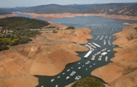
Freshwater is at a premium in much of California, especially along the agriculturally productive Monterey and Santa Cruz coasts. Many of the region's communities rely on groundwater to meet the freshwater needs of their residents and farmers, and the state's current unprecedented drought is only increasing that demand.
But pumping freshwater out of the ground changes the fluid pressure of underground aquifers, and if an aquifer is located near the coast, the result can be an influx of saltwater. Over the course of decades, saltwater intrusion can dramatically change the salinity of an aquifer, rendering it unusable.
In order to determine the seriousness of this problem in the region, researchers led by Stanford geophysicist Rosemary Knight and Adam Pidlisecky, an associate professor of geosciences at the University of Calgary, conducted an ambitious scientific survey earlier this fall. The team used an advanced geophysical imaging technique called electrical resistivity tomography, or ERT, to map the salinity of aquifers along the entire Monterey Bay coastline to a depth of up to 1,000 feet.
Knight is an expert in adapting geophysical technologies to study groundwater resources and aid in their management. The latest survey is a follow up to a pilot study conducted in 2010 and 2011 that used ERT to image the saltwater-freshwater interface along a 4-mile stretch of the southern coast of Monterey Bay. The success of that pilot study enabled Knight to secure funding to study the entire Monterey Bay coastline.
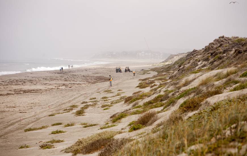
The recent survey took about two weeks to complete and involved long hours in the sun. Each day, the team, which included Knight's graduate student Meredith Goebel, and members of the Alberta division of the Australian engineering company WorleyParsons, worked to to embed a series of 4-foot metal electrodes into the sand.
Once 80 electrodes were in place, the team pumped tiny pulses of electricity through a connecting wire. The current spread below the ground, and by measuring the voltage between pairs of electrodes, the team could create a resistivity map of the subsurface. ERT measures a property called electrical resistivity, and saltwater has a much lower electrical resistivity than freshwater. Once a section of coastline was surveyed, the team pulled out the stakes and repeated the process again.
Analysis of the survey results should be completed by early next year, and the team plans to share the data with water agencies in the region that are struggling to meet the freshwater demands of local residents, farmers and other businesses. The findings could help refine computer models of saltwater intrusion in the region, Knight said, and also foster new ways of thinking about proactive groundwater management along the Monterey Bay coastline.
Knight is the George L. Harrington Professor in the Stanford School of Earth Sciences and a senior fellow, by courtesy, at the Stanford Woods Institute for the Environment.

© Stanford University, Stanford, California 94305. Copyright Complaints